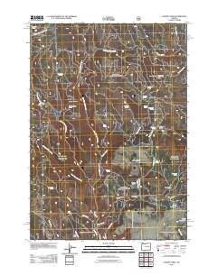
2011 Map of Magpie Table
USGS Topo · Published 2011About this map
Frazier Point Fire Lookout stands as a sentinel over this high plateau landscape in eastern Oregon, overlooking a network of seasonal drainages and remote ranching infrastructure. The terrain is characterized by broad elevations like Magpie Table and Glass Mountain, while life in this arid region is marked by numerous vital water sources such as Pierpont Spring, Mahogany Spring, and Dead Horse Spring. In the southern reaches of the map, Hart Ranch sits near the confluence of Gabe Creek and Wolf Creek, representing the area's agricultural footprint. Transportation is defined by rugged corridors like Frost Mill Rd and Logan Van Rd, which connect the scattered springs and landmarks across the expansive Cougar Flat. The presence of Lucky Reservoir in the southeast corner indicates the essential role of water management in sustaining local livestock and wildlife throughout the seasons.
Find a feature on this map
38 named features on this map. Tap any name to fly to it.
Don’t see what you’re looking for? This feature index may not catch every label — zoom into the map to look around manually.
Map Details
Editions of this 2011 Magpie Table Map
This is the sole edition of this map. No revisions or reprints were ever made.
Other maps of this area

1955 · Burns
USGS Topo · 1:250,000

1955 · Canyon City
USGS Topo · 1:250,000

1958 · Burns
USGS Topo · 1:250,000

1959 · Burns
USGS Topo · 1:250,000

1959 · Canyon City
USGS Topo · 1:250,000

1961 · Calamity Butte
USGS Topo · 1:62,500

1961 · Logan Valley
USGS Topo · 1:62,500

1961 · Seneca
USGS Topo · 1:62,500

1968 · Van
USGS Topo · 1:62,500

1978 · John Day
USGS Topo · 1:100,000