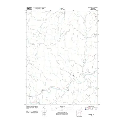
2010 Map of Mahaffey
USGS Topo · Published 2010About this map
The West Branch Susquehanna River winds through this landscape, serving as a geographic anchor for several small Pennsylvania settlements. Riverfront hamlets such as Bells Landing, Bower, and Middleton reflect a historic reliance on the waterway for transportation and industry. The surrounding terrain is marked by numerous drainage runs, including Curry Run and Haslett Run, which descend toward the river valley through a network of rural roads that often bear the names of local families and early industry, such as Wall Farm Rd and Splash Dam Rd.
Find a feature on this map
61 named features on this map. Tap any name to fly to it.
Don’t see what you’re looking for? This feature index may not catch every label — zoom into the map to look around manually.
Map Details
Editions of this 2010 Mahaffey Map
This is the sole edition of this map. No revisions or reprints were ever made.
Other maps of this area

1903 · Curwensville
USGS Topo · 1:62,500

1906 · Punxsutawney
USGS Topo · 1:62,500

1922 · Du Bois
USGS Topo · 1:62,500

1924 · Du Bois
USGS Topo · 1:62,500

1929 · Penfield
USGS Topo · 1:62,500

1932 · Penfield
USGS Topo · 1:62,500

1939 · Curwensville
USGS Topo · 1:62,500

1939 · Punxsutawney
USGS Topo · 1:62,500

1942 · Curwensville
USGS Topo · 1:62,500

1942 · Punxsutawney
USGS Topo · 1:62,500
Featured Places
- Bloom Township, PA
- Bower, Greenwood Township
- Middleton, Bell Township
- Brady Township, PA
- Greenwood Township, PA