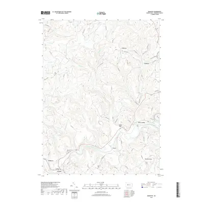
2019 Map of Mahaffey
USGS Topo · Published 2019About this map
The West Branch Susquehanna River cuts a deep, winding path through the southern half of this landscape, serving as the primary geographical anchor for the valley communities of Mahaffey, Bower, and Bells Landing. The rugged topography of Clearfield County is evident in the dense network of drainage runs, including Curry Run and Bell Run, which have carved out the steep ridges defining the area's rural character.
Find a feature on this map
93 named features on this map. Tap any name to fly to it.
Don’t see what you’re looking for? This feature index may not catch every label — zoom into the map to look around manually.
Map Details
Editions of this 2019 Mahaffey Map
This is the sole edition of this map. No revisions or reprints were ever made.
Other maps of this area

1903 · Curwensville
USGS Topo · 1:62,500

1906 · Punxsutawney
USGS Topo · 1:62,500

1922 · Du Bois
USGS Topo · 1:62,500

1924 · Du Bois
USGS Topo · 1:62,500

1929 · Penfield
USGS Topo · 1:62,500

1932 · Penfield
USGS Topo · 1:62,500

1939 · Curwensville
USGS Topo · 1:62,500

1939 · Punxsutawney
USGS Topo · 1:62,500

1942 · Curwensville
USGS Topo · 1:62,500

1942 · Punxsutawney
USGS Topo · 1:62,500
Featured Places
- Bloom Township, PA
- Bower, Greenwood Township
- Middleton, Bell Township
- Brady Township, PA
- Greenwood Township, PA