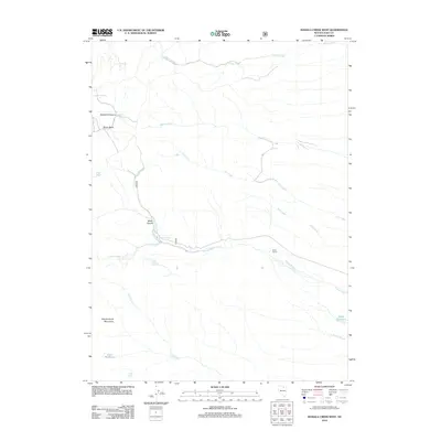
2012 Map of Mahala Creek West
USGS Topo · Published 2012About this map
The eastern slopes of the Independence Mountains define this high-desert landscape in northern Nevada, where water remains the primary driver of geography and settlement. Ranching activity is centered around the Saval Ranch, supported by the irrigation infrastructure of the Saval Reservoir and the Ross Reservoir. The map reveals a complex network of seasonal and perennial drainages, including the branching headwaters of Mahala Creek, Gance Creek, and Pie Creek.
Find a feature on this map
22 named features on this map. Tap any name to fly to it.
Don’t see what you’re looking for? This feature index may not catch every label — zoom into the map to look around manually.
Map Details
Editions of this 2012 Mahala Creek West Map
This is the sole edition of this map. No revisions or reprints were ever made.
Other maps of this area

1955 · McDermitt
USGS Topo · 1:250,000

1955 · Wells
USGS Topo · 1:250,000

1956 · Tuscarora
USGS Topo · 1:62,500

1958 · Wells
USGS Topo · 1:250,000

1959 · McDermitt
USGS Topo · 1:250,000

1961 · Wells
USGS Topo · 1:250,000

1970 · Stampede Ranch
USGS Topo · 1:24,000

1971 · Mahala Creek West
USGS Topo · 1:24,000

1971 · North Fork
USGS Topo · 1:24,000

1971 · California Mtn.
USGS Topo · 1:24,000