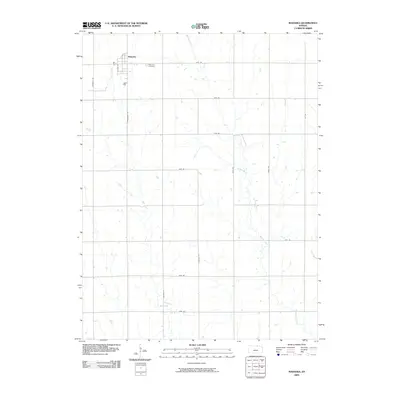
2009 Map of Mahaska
USGS Topo · Published 2009About this map
Mahaska sits at the northern edge of Washington County, its small-town grid organized around S Pine St just south of the Nebraska border. The landscape is defined by the systematic township-and-range road network, where routes like Meridian Rd and Bismark Rd slice through a terrain carved by shifting watercourses. Tributaries of the Little Blue River system, including Myer Creek and Bouman Creek, wind south and eastward across the quadrangle, punctuated by smaller drainages such as Stanley Branch and Gray Branch.
Find a feature on this map
21 named features on this map. Tap any name to fly to it.
Don’t see what you’re looking for? This feature index may not catch every label — zoom into the map to look around manually.
Map Details
Editions of this 2009 Mahaska Map
This is the sole edition of this map. No revisions or reprints were ever made.
Other maps of this area

1893 · Washington
USGS Topo · 1:125,000

1955 · Manhattan
USGS Topo · 1:250,000

1955 · Lincoln
USGS Topo · 1:250,000

1956 · Manhattan
USGS Topo · 1:250,000

1957 · Manhattan
USGS Topo · 1:250,000

1957 · Lincoln
USGS Topo · 1:250,000

1958 · Lincoln
USGS Topo · 1:250,000

1960 · Fairbury SW
USGS Topo · 1:24,000

1960 · Reynolds
USGS Topo · 1:24,000

1960 · Hubbell
USGS Topo · 1:24,000