2015 Map of Mahaska
USGS Topo · Published 2015About this map
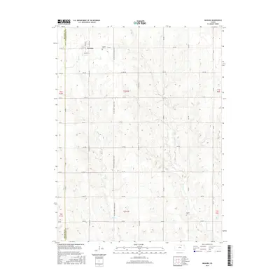
Mahaska sits on the northern edge of Washington County, just south of the Nebraska border, where a grid of rural roads defines the agricultural landscape of north-central Kansas. This survey details a small-town layout centered on N Main St and Highway Ave, while the surrounding terrain is deeply carved by drainage systems like Bowman Cr and Myer Cr. For genealogists and local historians, the presence of the Mahaska Cem and Larabee Cem provides fixed points for tracing family lineages within the township. The infrastructure is characterized by several "Section Line" roads and the FAS 658 (County Gravel Road), which serves as a primary north-south artery. Small tributaries like Stanley Br and Gray Br weave through the contours, illustrating the natural water drainage patterns that influence local farming and land use in this part of the state.
Find a feature on this map
40 named features on this map. Tap any name to fly to it.
Don’t see what you’re looking for? This feature index may not catch every label — zoom into the map to look around manually.
Map Details
Editions of this 2015 Mahaska Map
This is the sole edition of this map. No revisions or reprints were ever made.
Other maps of this area

1893 · Washington
USGS Topo · 1:125,000

1955 · Manhattan
USGS Topo · 1:250,000

1955 · Lincoln
USGS Topo · 1:250,000

1956 · Manhattan
USGS Topo · 1:250,000

1957 · Manhattan
USGS Topo · 1:250,000

1957 · Lincoln
USGS Topo · 1:250,000

1958 · Lincoln
USGS Topo · 1:250,000

1960 · Fairbury SW
USGS Topo · 1:24,000

1960 · Reynolds
USGS Topo · 1:24,000

1960 · Hubbell
USGS Topo · 1:24,000