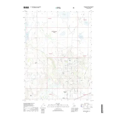
2018 Map of Mahogany Ridge
USGS Topo · Published 2018About this map
Alturas serves as the focal point for this section of Northern California, where the high desert plateau meets the eastern edge of the Modoc National Forest. The landscape is defined by its extensive water management system, featuring numerous high-altitude catchments like the Big Sage Reservoir and the combined Raker and Thomas Reservoirs. To the west, Mahogany Ridge overlooks a series of springs and seasonal drainages, including Kelley Springs and Indian Spring Reservoir. The southern portion of the map transitions into the residential outskirts of town, evidenced by Daphnedale Park and a dense network of local roads named for regional wildlife, such as Sage Hen Ln and Chukar Ln. This network of reservoirs and springs illustrates the vital role of water distribution in this arid timber and rangeland environment.
Find a feature on this map
49 named features on this map. Tap any name to fly to it.
Don’t see what you’re looking for? This feature index may not catch every label — zoom into the map to look around manually.
Map Details
Editions of this 2018 Mahogany Ridge Map
This is the sole edition of this map. No revisions or reprints were ever made.
Other maps of this area

1886 · Alturas
USGS Topo · 1:250,000

1892 · Alturas
USGS Topo · 1:250,000

1954 · Alturas
USGS Topo · 1:250,000

1958 · Alturas
USGS Topo · 1:250,000

1961 · Alturas
USGS Topo · 1:62,500

1962 · Alturas
USGS Topo · 1:250,000

1962 · Davis Creek
USGS Topo · 1:62,500

1962 · Big Sage Reservoir
USGS Topo · 1:62,500

1963 · Dorris Reservoir
USGS Topo · 1:24,000

1965 · Alturas
USGS Topo · 1:250,000