
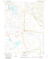
1963 Map of Dorris Reservoir
USGS Topo · Published 1965About this map
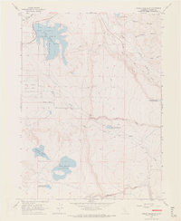
The Modoc National Wildlife Refuge dominates the northwestern portion of this California landscape, centered around the sprawling waters of Dorris Reservoir. This mid-century survey reveals a highly managed hydrologic system in the high desert, characterized by a series of high-elevation impoundments including Payne Reservoir, Dannhauser Reservoir, and French Reservoir. The presence of the Old Powerhouse along Pine Creek indicates an era of localized hydroelectric power generation utilizing the steep descent of mountain waters. Further east, the terrain becomes more dissected by drainages such as Fitzhugh Creek and Shields Creek, while deep incisions like Renfro Canyon and White Horse Canyon cut through the volcanic plateau. A network of Jeep Trails and the Parker Creek Road provide the primary access to these remote canyonlands and wildlife corridors.
Find a feature on this map
21 named features on this map. Tap any name to fly to it.
Don’t see what you’re looking for? This feature index may not catch every label — zoom into the map to look around manually.
Map Details
Editions of this 1963 Dorris Reservoir Map
6 editions found
Other maps of this area

1886 · Alturas
USGS Topo · 1:250,000

1892 · Alturas
USGS Topo · 1:250,000

1954 · Alturas
USGS Topo · 1:250,000

1958 · Alturas
USGS Topo · 1:250,000

1961 · Alturas
USGS Topo · 1:62,500

1962 · Alturas
USGS Topo · 1:250,000

1962 · Davis Creek
USGS Topo · 1:62,500

1962 · Big Sage Reservoir
USGS Topo · 1:62,500

1963 · Little Juniper Reservoir
USGS Topo · 1:24,000

1963 · Shields Creek
USGS Topo · 1:24,000