
1963 Map of Shields Creek
USGS Topo · Published 1965About this map
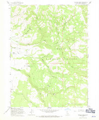
The Modoc National Forest dominates this 1963 landscape, where the high-altitude terrain is defined by a complex network of drainage basins and isolated ranching outposts. Yankee Jim Ranch sits at the southwestern edge of the sheet, serving as a rare marker of private settlement in this largely protected timber and grazing territory. Water management is central to the area's utility, evidenced by the Porter Reservoir with its recorded spillway elevation of 5029 feet, and the presence of the Fitzhugh Guard Station near Fitzhugh Springs, indicating active federal management of the forest's resources.
Find a feature on this map
35 named features on this map. Tap any name to fly to it.
Don’t see what you’re looking for? This feature index may not catch every label — zoom into the map to look around manually.
Map Details
Editions of this 1963 Shields Creek Map
4 editions found
Other maps of this area

1886 · Alturas
USGS Topo · 1:250,000

1892 · Alturas
USGS Topo · 1:250,000

1954 · Alturas
USGS Topo · 1:250,000

1958 · Alturas
USGS Topo · 1:250,000

1962 · Alturas
USGS Topo · 1:250,000

1962 · Davis Creek
USGS Topo · 1:62,500

1962 · Cedarville
USGS Topo · 1:62,500

1963 · Warren Peak
USGS Topo · 1:24,000

1963 · Little Juniper Reservoir
USGS Topo · 1:24,000

1963 · Dorris Reservoir
USGS Topo · 1:24,000