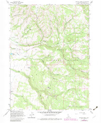
1963 Map of Shields Creek
USGS Topo · Published 1983About this map
Yankee Jim Ranch anchors the western edge of this landscape, a region defined by the complex drainage systems of the Warner Mountains. The terrain is a network of deep canyons and water sources, including the headwaters of Shields Creek and the Dry Creek Basin. As a 1963 survey updated with early 1980s data, the map illustrates the careful management of these high-altitude resources within the Modoc National Forest. Notable infrastructure like the Porter Reservoir with its recorded spillway elevation and the rugged Parker Creek Road highlight the human presence in this otherwise remote wilderness.
Find a feature on this map
37 named features on this map. Tap any name to fly to it.
Don’t see what you’re looking for? This feature index may not catch every label — zoom into the map to look around manually.
Map Details
Editions of this 1963 Shields Creek Map
4 editions found
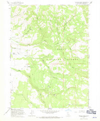
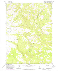
Other maps of this area

1886 · Alturas
USGS Topo · 1:250,000

1892 · Alturas
USGS Topo · 1:250,000

1954 · Alturas
USGS Topo · 1:250,000

1958 · Alturas
USGS Topo · 1:250,000

1962 · Alturas
USGS Topo · 1:250,000

1962 · Davis Creek
USGS Topo · 1:62,500

1962 · Cedarville
USGS Topo · 1:62,500

1963 · Warren Peak
USGS Topo · 1:24,000

1963 · Little Juniper Reservoir
USGS Topo · 1:24,000

1963 · Shields Creek
USGS Topo · 1:24,000