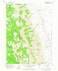
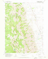
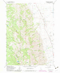
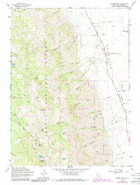
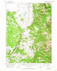
1963 Map of Warren Peak
USGS Topo · Published 1964About this map
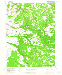
Modoc National Forest dominates this 1960s terrain, where the high ridges of the Warner Mountains drop sharply into the arid expanse of the Surprise Valley. The landscape is a study in vertical drainage, with numerous seasonal and perennial flows like Steamboat Creek and Cottonwood Creek carving deep canyons through the volcanic rock. Higher elevations are marked by alpine features such as Warren Peak and the high-altitude Patterson Lake, while lower desert levels show the transition to the edge of Middle Alkali Lake.
Find a feature on this map
41 named features on this map. Tap any name to fly to it.
Don’t see what you’re looking for? This feature index may not catch every label — zoom into the map to look around manually.
Map Details
Editions of this 1963 Warren Peak Map
4 editions found
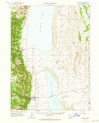
Other maps of this area

1886 · Alturas
USGS Topo · 1:250,000

1892 · Alturas
USGS Topo · 1:250,000

1954 · Alturas
USGS Topo · 1:250,000

1958 · Alturas
USGS Topo · 1:250,000

1962 · Alturas
USGS Topo · 1:250,000
1962 · Davis Creek
USGS Topo · 1:62,500
1962 · Cedarville
USGS Topo · 1:62,500
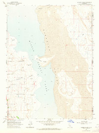
1963 · Hansen Island
USGS Topo · 1:24,000
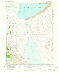
1963 · Eagleville
USGS Topo · 1:24,000
1963 · Shields Creek
USGS Topo · 1:24,000