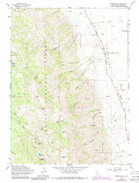
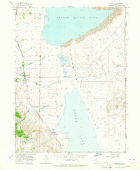
1963 Map of Warren Peak
USGS Topo · Published 1988About this map
South Warner Wilderness and the high elevations of the Modoc National Forest dominate this survey, which transitioned from 1963 data into a 1988 publication. The map documents a high-altitude landscape of alpine lakes and seasonal streams, where Warren Peak and Squaw Peak rise above a series of glacial tarns including Patterson Lake, Lindemann Lake, and Mosquito Lake. Human activity in these mountains is represented by remote outposts and seasonal camps like Tom Smith Cabin, Tom Lee Meadows, and Pepperdine Camp.
Find a feature on this map
50 named features on this map. Tap any name to fly to it.
Don’t see what you’re looking for? This feature index may not catch every label — zoom into the map to look around manually.
Map Details
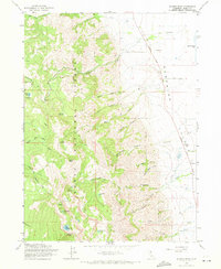
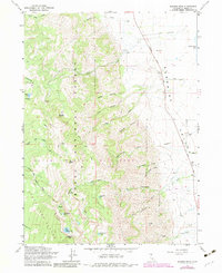
Editions of this 1963 Warren Peak Map
4 editions found
Other maps of this area

1886 · Alturas
USGS Topo · 1:250,000

1892 · Alturas
USGS Topo · 1:250,000

1954 · Alturas
USGS Topo · 1:250,000

1958 · Alturas
USGS Topo · 1:250,000

1962 · Alturas
USGS Topo · 1:250,000

1962 · Davis Creek
USGS Topo · 1:62,500

1962 · Cedarville
USGS Topo · 1:62,500

1963 · Warren Peak
USGS Topo · 1:24,000
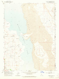
1963 · Hansen Island
USGS Topo · 1:24,000
1963 · Eagleville
USGS Topo · 1:24,000