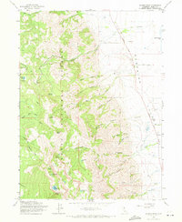
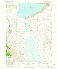
1963 Map of Warren Peak
USGS Topo · Published 1971About this map
Modoc National Forest dominates the high-altitude terrain of the Warner Mountains in the early 1960s, where prominent summits like Warren Peak and Squaw Peak overlook a landscape carved by numerous drainage systems. This environment is defined by its water resources, with high-mountain catchments such as Patterson Lake, Cottonwood Lake, and Linderman Lake feeding the complex network of creeks that flow eastward toward the arid Surprise Valley. The map documents the human footprint in this remote region through established camps like Pepperdine Camp and isolated outposts such as Tom Smith Cabin.
Find a feature on this map
46 named features on this map. Tap any name to fly to it.
Don’t see what you’re looking for? This feature index may not catch every label — zoom into the map to look around manually.
Map Details
Editions of this 1963 Warren Peak Map
4 editions found
Other maps of this area

1886 · Alturas
USGS Topo · 1:250,000

1892 · Alturas
USGS Topo · 1:250,000

1954 · Alturas
USGS Topo · 1:250,000

1958 · Alturas
USGS Topo · 1:250,000

1962 · Alturas
USGS Topo · 1:250,000

1962 · Davis Creek
USGS Topo · 1:62,500

1962 · Cedarville
USGS Topo · 1:62,500

1963 · Warren Peak
USGS Topo · 1:24,000
1963 · Hansen Island
USGS Topo · 1:24,000
1963 · Eagleville
USGS Topo · 1:24,000