
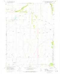
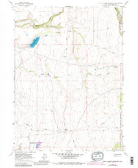
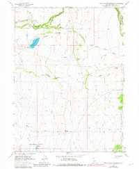
1963 Map of Little Juniper Reservoir
USGS Topo · Published 1965About this map
Little Juniper Reservoir and the high sagebrush and juniper country of the northern Sierra Nevada foothills dominate this 1963 survey of Modoc County. The landscape is defined by its water management for ranching and agriculture, centered on the Little Juniper Reservoir with its elevation 4580 spillway and the Flournoy Reservoir to the south. The drainage network is complex, featuring Fitzhugh Creek, Big Juniper Creek, and the South Fork Pit River which cuts through the northeastern corner. This era shows a rugged cattle-country infrastructure, where travel was limited to numerous jeep trails connecting isolated points like Nelson Springs and Wall Springs. Portions of the Modoc National Forest are visible along the eastern boundary, illustrating the transition from open grazing land to protected timber territory.
Find a feature on this map
16 named features on this map. Tap any name to fly to it.
Don’t see what you’re looking for? This feature index may not catch every label — zoom into the map to look around manually.
Map Details
Editions of this 1963 Little Juniper Reservoir Map
4 editions found
Other maps of this area

1886 · Alturas
USGS Topo · 1:250,000

1892 · Alturas
USGS Topo · 1:250,000

1954 · Alturas
USGS Topo · 1:250,000

1958 · Alturas
USGS Topo · 1:250,000

1961 · Alturas
USGS Topo · 1:62,500

1962 · Alturas
USGS Topo · 1:250,000

1962 · Tule Mountain
USGS Topo · 1:24,000

1962 · Jess Valley
USGS Topo · 1:24,000

1962 · Likely
USGS Topo · 1:62,500

1963 · Shields Creek
USGS Topo · 1:24,000