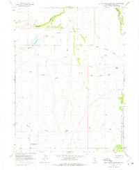
1963 Map of Little Juniper Reservoir
USGS Topo · Published 1975About this map
The high desert landscape of Modoc County is dominated here by essential water management and drainage systems as they existed in the early 1960s. Little Juniper Reservoir and Flournoy Reservoir serve as the primary landmarks in this arid basin, both featuring surveyed spillways that highlight the importance of water storage in this section of Northern California. The terrain is marked by a network of seasonal watercourses, including Fitzhugh Creek, Little Juniper Creek, and Big Juniper Creek, which cut through the open country.
Find a feature on this map
16 named features on this map. Tap any name to fly to it.
Don’t see what you’re looking for? This feature index may not catch every label — zoom into the map to look around manually.
Map Details
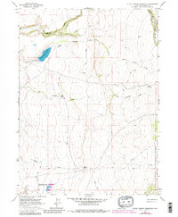
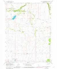
Editions of this 1963 Little Juniper Reservoir Map
4 editions found
Other maps of this area

1886 · Alturas
USGS Topo · 1:250,000

1892 · Alturas
USGS Topo · 1:250,000

1954 · Alturas
USGS Topo · 1:250,000

1958 · Alturas
USGS Topo · 1:250,000

1961 · Alturas
USGS Topo · 1:62,500

1962 · Alturas
USGS Topo · 1:250,000

1962 · Tule Mountain
USGS Topo · 1:24,000

1962 · Jess Valley
USGS Topo · 1:24,000

1962 · Likely
USGS Topo · 1:62,500

1963 · Little Juniper Reservoir
USGS Topo · 1:24,000