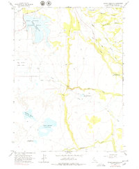
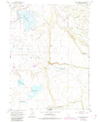
1963 Map of Dorris Reservoir
USGS Topo · Published 1979About this map
The Modoc National Wildlife Refuge anchors the western edge of this High Desert landscape, where the Dorris Reservoir was managed for water storage and wildlife habitat in the early 1960s. The map illustrates a highly engineered water system characterized by numerous upland catchments, including Payne Reservoir, French Reservoir, and Dannhauser Reservoir. These basins fed into a network of drainages like Pine Creek and Jim Creek, supporting the region's agricultural and power needs.
Find a feature on this map
25 named features on this map. Tap any name to fly to it.
Don’t see what you’re looking for? This feature index may not catch every label — zoom into the map to look around manually.
Map Details
Editions of this 1963 Dorris Reservoir Map
6 editions found

Other maps of this area

1886 · Alturas
USGS Topo · 1:250,000

1892 · Alturas
USGS Topo · 1:250,000

1954 · Alturas
USGS Topo · 1:250,000

1958 · Alturas
USGS Topo · 1:250,000

1961 · Alturas
USGS Topo · 1:62,500

1962 · Alturas
USGS Topo · 1:250,000

1962 · Davis Creek
USGS Topo · 1:62,500

1962 · Big Sage Reservoir
USGS Topo · 1:62,500

1963 · Little Juniper Reservoir
USGS Topo · 1:24,000

1963 · Shields Creek
USGS Topo · 1:24,000