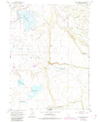
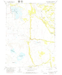
1963 Map of Dorris Reservoir
USGS Topo · Published 1983About this map
The Modoc National Wildlife Refuge serves as a focal point for this Northeastern California landscape, where high-elevation water management is the defining human footprint. A series of mid-century reservoirs, including the large Dorris Reservoir and Payne Reservoir, are networked across the terrain via creeks and irrigation ditches. The presence of the Old Powerhouse along Pine Creek suggests the historical reliance on these water systems for local energy and agriculture in the Modoc plateau.
Find a feature on this map
21 named features on this map. Tap any name to fly to it.
Don’t see what you’re looking for? This feature index may not catch every label — zoom into the map to look around manually.
Map Details
Editions of this 1963 Dorris Reservoir Map
6 editions found

Other maps of this area

1886 · Alturas
USGS Topo · 1:250,000

1892 · Alturas
USGS Topo · 1:250,000

1954 · Alturas
USGS Topo · 1:250,000

1958 · Alturas
USGS Topo · 1:250,000

1961 · Alturas
USGS Topo · 1:62,500

1962 · Alturas
USGS Topo · 1:250,000

1962 · Davis Creek
USGS Topo · 1:62,500

1962 · Big Sage Reservoir
USGS Topo · 1:62,500

1963 · Little Juniper Reservoir
USGS Topo · 1:24,000

1963 · Shields Creek
USGS Topo · 1:24,000