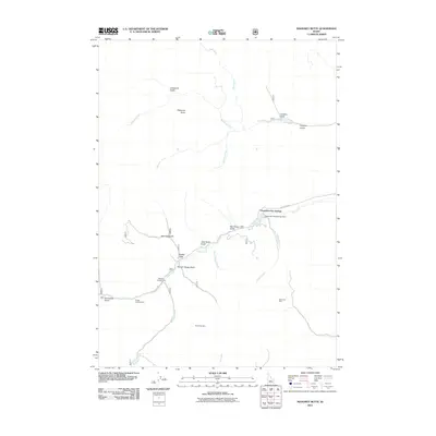
2011 Map of Mahoney Butte
USGS Topo · Published 2011About this map
Clarendon Hot Springs serves as a primary landmark in this drainage-heavy landscape of Blaine County. The map details a rugged hydrologic network where Deer Creek and Mahoney Creek converge with numerous spring-fed tributaries and gulches. Evidence of the region’s mining history is preserved through the location of the Democrat Mine and the Red Cloud Mine, while modern recreation is represented by the Wolftone Campground and Bridge Campground. The central geography is dominated by Mahoney Butte, surrounded by a complex system of narrow ravines like Narrow Gauge Gulch and Snowslide Gulch. This 2011 survey captures the area’s character as a site of both historic extraction and contemporary conservation, including the presence of the Clarendon Hot Springs Dam along the water's edge.
Find a feature on this map
26 named features on this map. Tap any name to fly to it.
Don’t see what you’re looking for? This feature index may not catch every label — zoom into the map to look around manually.
Map Details
Editions of this 2011 Mahoney Butte Map
This is the sole edition of this map. No revisions or reprints were ever made.
Other maps of this area

1895 · Hailey
USGS Topo · 1:125,000

1897 · Hailey
USGS Topo · 1:125,000

1900 · Sawtooth
USGS Topo · 1:125,000

1955 · Hailey
USGS Topo · 1:250,000

1957 · Bellevue
USGS Topo · 1:62,500

1957 · Blaine
USGS Topo · 1:62,500

1957 · Bellevue
USGS Topo · 1:24,000

1959 · Hailey
USGS Topo · 1:250,000

1962 · Hailey
USGS Topo · 1:250,000

1967 · Mahoney Butte
USGS Topo · 1:24,000