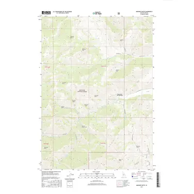
2017 Map of Mahoney Butte
USGS Topo · Published 2017About this map
Clarendon Hot Springs serves as a focal point in this portion of the Sawtooth National Forest, where the Idaho landscape is defined by a dense network of gulches and creeks. The nomenclature of the terrain, including Jolly Sailor Gulch, Narrow Gauge Gulch, and Bullion Gulch, suggests a history tied to early prospecting and resource extraction in Blaine County. These features are carved into the slopes surrounding the prominent Mahoney Butte, with drainage provided by the winding Deer Creek and its many tributaries like Wolf Tone Creek. Modern access is represented by forest roads and recreational paths such as the Two Dog Trail and Lambs Gulch Trail, illustrating how the area has shifted from industrial potential to a landscape of conservation and wilderness recreation.
Find a feature on this map
39 named features on this map. Tap any name to fly to it.
Don’t see what you’re looking for? This feature index may not catch every label — zoom into the map to look around manually.
Map Details
Editions of this 2017 Mahoney Butte Map
This is the sole edition of this map. No revisions or reprints were ever made.
Other maps of this area

1895 · Hailey
USGS Topo · 1:125,000

1897 · Hailey
USGS Topo · 1:125,000

1900 · Sawtooth
USGS Topo · 1:125,000

1955 · Hailey
USGS Topo · 1:250,000

1957 · Bellevue
USGS Topo · 1:62,500

1957 · Blaine
USGS Topo · 1:62,500

1957 · Bellevue
USGS Topo · 1:24,000

1959 · Hailey
USGS Topo · 1:250,000

1962 · Hailey
USGS Topo · 1:250,000

1967 · Mahoney Butte
USGS Topo · 1:24,000