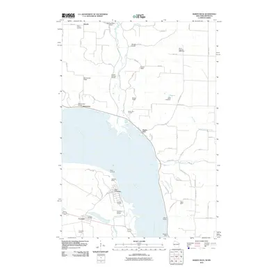
2010 Map of Maiden Rock
USGS Topo · Published 2010About this map
The Mississippi River carves a dramatic path through this 2010 survey of the borderlands between Wisconsin and Minnesota, where steep bluffs and deep coulees define the topography. On the Minnesota shore, the historic core of Old Frontenac stands near Point-no-Point and the steep elevation of Garrard Bluff. This area is rich with local history, evidenced by the cluster of cemeteries such as the Episcopal Cemetery and the Villa Maria Academy Cemetery, alongside the essential Frontenac Post Office.
Find a feature on this map
70 named features on this map. Tap any name to fly to it.
Don’t see what you’re looking for? This feature index may not catch every label — zoom into the map to look around manually.
Map Details
Editions of this 2010 Maiden Rock Map
This is the sole edition of this map. No revisions or reprints were ever made.
Other maps of this area

1932 · Wabasha
USGS Topo · 1:62,500

1935 · Arkansaw
USGS Topo · 1:48,000

1940 · Maiden Rock
USGS Topo · 1:62,500

1941 · Arkansaw
USGS Topo · 1:62,500

1942 · Arkansaw
USGS Topo · 1:62,500

1950 · Maiden Rock
USGS Topo · 1:62,500

1951 · Wabasha
USGS Topo · 1:62,500

1951 · Lake City
USGS Topo · 1:62,500

1953 · Saint Paul
USGS Topo · 1:250,000

1959 · Saint Paul
USGS Topo · 1:250,000