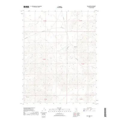
2018 Map of Mail Summit
USGS Topo · Published 2018About this map
Mail Summit and the surrounding high-elevation terrain of Lincoln County dominate this topographical study. The landscape is characterized by a network of drainage ways and canyons, most notably the deep cut of Silver Canyon in the southwestern quadrant. Water sources are scarce in this arid environment, represented here by Henry Spring and Springer Spring, which likely served as critical stops for travelers crossing the high desert.
Find a feature on this map
13 named features on this map. Tap any name to fly to it.
Don’t see what you’re looking for? This feature index may not catch every label — zoom into the map to look around manually.
Map Details
Editions of this 2018 Mail Summit Map
This is the sole edition of this map. No revisions or reprints were ever made.
Other maps of this area

1954 · Caliente
USGS Topo · 1:250,000

1959 · Caliente
USGS Topo · 1:250,000

1970 · Seaman Wash
USGS Topo · 1:24,000

1970 · Fossil Peak
USGS Topo · 1:24,000

1970 · Hiko
USGS Topo · 1:24,000

1985 · Mail Summit
USGS Topo · 1:24,000
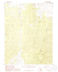
1985 · Mount Irish
USGS Topo · 1:24,000
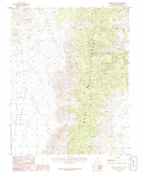
1985 · Crescent Spring
USGS Topo · 1:24,000
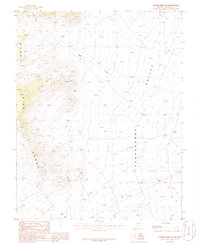
1985 · Mount Irish SE
USGS Topo · 1:24,000

1985 · Murphy Gap
USGS Topo · 1:24,000