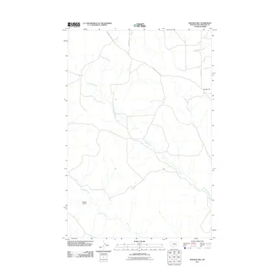
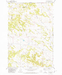
2011 Map of Mailbox Hill
USGS Topo · Published 2011About this map
Mail Box Hill rises above the drainage networks of Yellowstone County, defining the landscape of this high-plains region. The area is dominated by the wandering paths of East Buffalo Creek and Buffalo Creek, which carve through the terrain alongside other seasonal watercourses like Deadman Creek and Butte Creek. This territory is characterized by its wide-open spaces and the natural topography of the Kendall Coulee. A sparse but essential network of roads, including the historically named Musselshell Trail Rd and Melstone Rd, connects this isolated section of Montana. The map reflects a landscape where human presence is marked primarily by these winding gravel routes and the naming of small geographic features across the vast prairies.
Find a feature on this map
9 named features on this map. Tap any name to fly to it.
Don’t see what you’re looking for? This feature index may not catch every label — zoom into the map to look around manually.
Map Details
Editions of this 2011 Mailbox Hill Map
This is the sole edition of this map. No revisions or reprints were ever made.
Other maps of this area

1954 · Forsyth
USGS Topo · 1:250,000

1957 · Forsyth
USGS Topo · 1:250,000

1958 · Forsyth
USGS Topo · 1:250,000

1960 · Coal Bank Creek
USGS Topo · 1:24,000

1979 · Hysham
USGS Topo · 1:100,000

1980 · Mud Butte
USGS Topo · 1:24,000
1980 · Bull Mountain NW
USGS Topo · 1:24,000
1980 · Weed Creek West
USGS Topo · 1:24,000
1980 · Weed Creek East
USGS Topo · 1:24,000
1980 · Pine View
USGS Topo · 1:24,000