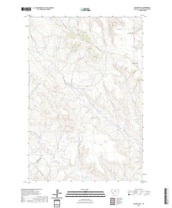
2024 Map of Mailbox Hill
USGS Topo · Published 2024About this map
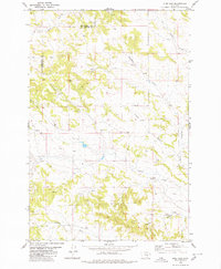
Mail Box Hill rises above a dissected landscape in Yellowstone County, where drainage networks like Deadman Creek and East Buffalo Creek carve through the terrain. The map's labeling reflects a blend of historical transit and ranching heritage, notably with the Musselshell Trail Rd and Sitting Bull Trl navigating the high ground and coulees. These names evoke the frontier history of Central Montana, marking a region defined more by its physical geography than by dense settlement. Remote access is provided by several named routes including Melstone Rd and Custer Pineview Rd, while localized features like Kendall Coulee and Trower offer specific points of interest for those tracing land use or topographic history along the Buffalo Creek watershed.
Find a feature on this map
15 named features on this map. Tap any name to fly to it.
Don’t see what you’re looking for? This feature index may not catch every label — zoom into the map to look around manually.
Map Details
Editions of this 2024 Mailbox Hill Map
This is the sole edition of this map. No revisions or reprints were ever made.
Other maps of this area

1954 · Forsyth
USGS Topo · 1:250,000

1957 · Forsyth
USGS Topo · 1:250,000

1958 · Forsyth
USGS Topo · 1:250,000

1960 · Coal Bank Creek
USGS Topo · 1:24,000

1979 · Hysham
USGS Topo · 1:100,000

1980 · Mud Butte
USGS Topo · 1:24,000
1980 · Bull Mountain NW
USGS Topo · 1:24,000
1980 · Weed Creek West
USGS Topo · 1:24,000
1980 · Weed Creek East
USGS Topo · 1:24,000
1980 · Pine View
USGS Topo · 1:24,000