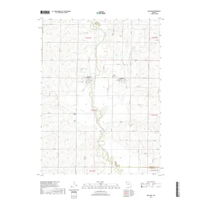
2017 Map of Maitland
USGS Topo · Published 2017About this map
The Nodaway River carves a winding path through the center of this Missouri landscape, forming a natural boundary between Holt and Nodaway counties. The town of Maitland serves as a local hub on the western side of the river, while the village of Graham is situated to the east. This 2017 survey details the rural character of the region, where the river's floodplains meet the surrounding uplands. Local history is anchored by numerous burial grounds including Prairie Home Cem, Linville Cem, and Schooler Cem, which are scattered among the farmsteads and creek valleys. Water resources are plentiful beyond the main river channel, with Wakley Lake and Wiley Lake punctuating the terrain, alongside smaller tributaries like Elkhorn Cr and Highly Cr. The map provides a clear picture of the modern road network and the enduring layout of these riverside communities.
Find a feature on this map
72 named features on this map. Tap any name to fly to it.
Don’t see what you’re looking for? This feature index may not catch every label — zoom into the map to look around manually.
Map Details
Editions of this 2017 Maitland Map
This is the sole edition of this map. No revisions or reprints were ever made.
Other maps of this area

1926 · Maitland
USGS Topo · 1:62,500

1927 · Bolckow
USGS Topo · 1:62,500

1939 · Skidmore
USGS Topo · 1:62,500

1941 · Skidmore
USGS Topo · 1:62,500

1942 · Skidmore
USGS Topo · 1:62,500

1943 · Maryville
USGS Topo · 1:62,500

1945 · Bolckow
USGS Topo · 1:62,500

1955 · Nebraska City
USGS Topo · 1:250,000

1957 · Nebraska City
USGS Topo · 1:250,000

1958 · Nebraska City
USGS Topo · 1:250,000