
1971 Map of Majuba Mtn
USGS Topo · Published 1973About this map
Mining operations and remote desert outposts define this 1971 survey of Pershing County. The landscape is dominated by the Majuba Mountains and the Antelope Range, where prospectors sought riches in the high desert. Evidence of mineral exploration is visible at the Majuba Hill Mine and the Last Chance Mine, while the Majuba Placers indicate historical alluvial mining activity in the flats to the southeast. Water remains the most critical resource for survival in this arid environment, marked by several essential points such as Willow Springs, Abel Spring, and Big Antelope Spring. A lonely set of Graves near a spring serves as a silent reminder of the harsh conditions faced by early residents and miners who traveled the primitive Jeep Trail network through Majuba Canyon.
Find a feature on this map
15 named features on this map. Tap any name to fly to it.
Don’t see what you’re looking for? This feature index may not catch every label — zoom into the map to look around manually.
Map Details
Editions of this 1971 Majuba Mtn Map
This is the sole edition of this map. No revisions or reprints were ever made.
Other maps of this area

1931 · Lovelock
USGS Topo · 1:250,000

1935 · Lovelock
USGS Topo · 1:250,000

1955 · Lovelock
USGS Topo · 1:250,000

1959 · Lovelock
USGS Topo · 1:250,000

1971 · Rye Patch Reservoir South
USGS Topo · 1:24,000

1971 · Poker Brown
USGS Topo · 1:24,000

1971 · Rye Patch Reservoir North
USGS Topo · 1:24,000
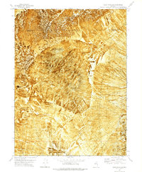
1971 · Alpha Mountain
USGS Topo · 1:24,000
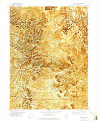
1971 · Long Canyon
USGS Topo · 1:24,000
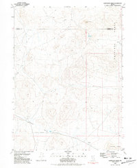
1981 · Sawtooth Knob
USGS Topo · 1:24,000