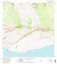
1981 Map of Makaopuhi Crater
USGS Topo · Published 1983About this map
Hawaii Volcanoes National Park dominates this landscape, documenting a period of intense geologic activity along the East Rift Zone. The map detail reveals a chronological succession of volcanic events, specifically delineating the Lava Flow of 1969, Lava Flow of 1972, and Lava Flow of 1974 as they descended the steep slopes of Holei Pali toward the Pacific Ocean. These flows forever altered the coastal access, crossing the Chain of Craters Road and surrounding historical locations such as Kealakomo (Site).
Find a feature on this map
40 named features on this map. Tap any name to fly to it.
Don’t see what you’re looking for? This feature index may not catch every label — zoom into the map to look around manually.
Map Details
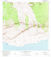
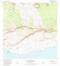
Editions of this 1981 Makaopuhi Crater Map
3 editions found
Other maps of this area

1921 · Kilauea
USGS Topo · 1:62,500

1922 · Puna
USGS Topo · 1:62,500

1923 · Pahala
USGS Topo · 1:62,500

1924 · Kilauea
USGS Topo · 1:62,500

1924 · Puna
USGS Topo · 1:62,500

1954 · Hawaii South
USGS Topo · 1:250,000

1959 · Hawaii South
USGS Topo · 1:250,000

1961 · Hawaii South
USGS Topo · 1:250,000

1962 · Hawaii South
USGS Topo · 1:250,000
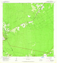
1963 · Volcano
USGS Topo · 1:24,000