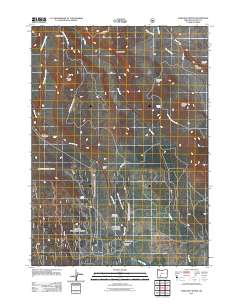
2011 Map of Maklaks Crater
USGS Topo · Published 2011About this map
Crater Lake National Park dominates the northern and western reaches of this landscape, where volcanic geology is the primary architect. High-elevation features like Crater Peak and Grayback Ridge overlook deep drainage systems including Sun Creek and Annie Creek. The southwestern quadrant transitions into more managed lands, evidenced by the presence of Wildcat Camp and the South Entrance. The topography here is punctuated by specialized recreation and resource sites, from the Annie Creek Sno-Park and Ponderosa Picnic Area to the Annie Creek Pit mine. Along the eastern edge, the landscape reveals striking geomorphology at The Pinnacles and Pinnacle Valley. This survey captures the infrastructure of the early 21st century designed to facilitate access to these high-altitude environments via routes like Grayback Dr and several National Forest Development roads.
Find a feature on this map
29 named features on this map. Tap any name to fly to it.
Don’t see what you’re looking for? This feature index may not catch every label — zoom into the map to look around manually.
Map Details
Editions of this 2011 Maklaks Crater Map
This is the sole edition of this map. No revisions or reprints were ever made.
Other maps of this area

1889 · Klamath
USGS Topo · 1:250,000

1891 · Ashland
USGS Topo · 1:250,000

1893 · Ashland
USGS Topo · 1:250,000

1894 · Klamath
USGS Topo · 1:250,000

1897 · Ashland
USGS Topo · 1:250,000

1955 · Pelican Butte
USGS Topo · 1:62,500

1955 · Klamath Falls
USGS Topo · 1:250,000

1955 · Medford
USGS Topo · 1:250,000

1957 · Medford
USGS Topo · 1:250,000

1957 · Chiloquin
USGS Topo · 1:62,500