
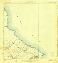
1924 Map of Makuu
USGS Topo · Published 1924About this map
The Hawaii Consolidated Railway defines the industrial and transport corridor of the Puna coast in the early 1920s, connecting numerous small stops such as Makuu Sta and Pahoa Junction. This survey documents a landscape of transition, where land grants like the Nanawale Homesteads and Keonepoku Homesteads sit alongside the expansive Lava Flow of 1840. The coastline features remote points like Cape Kumukahi and small coastal clusters such as Honolulu Landing.
Find a feature on this map
54 named features on this map. Tap any name to fly to it.
Don’t see what you’re looking for? This feature index may not catch every label — zoom into the map to look around manually.
Map Details
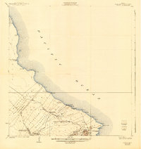
Editions of this 1924 Makuu Map
3 editions found
Other maps of this area

1915 · Honomu
USGS Topo · 1:62,500

1917 · Hilo
USGS Topo · 1:62,500

1922 · Puna
USGS Topo · 1:62,500

1924 · Puna
USGS Topo · 1:62,500

1924 · Kalapana
USGS Topo · 1:62,500

1932 · Hilo
USGS Topo · 1:62,500

1954 · Hawaii South
USGS Topo · 1:250,000

1954 · Hawaii North
USGS Topo · 1:250,000

1959 · Hawaii South
USGS Topo · 1:250,000

1959 · Hawaii North
USGS Topo · 1:250,000