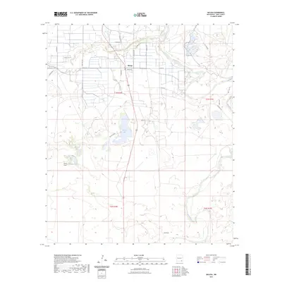
2023 Map of Malaga
USGS Topo · Published 2023About this map
Malaga serves as the central hub of this Chihuahuan Desert landscape, situated near the winding course of the Pecos River. The area’s agricultural and hydrological management is clearly visible through systems like the Willow Creek Ditch, which feeds into Willow Lake. These features, along with the numerous smaller basins such as Mexican Lake and Horseshoe Lake, illustrate the critical role of water diversion and natural catchment in Eddy County’s arid environment.
Find a feature on this map
32 named features on this map. Tap any name to fly to it.
Don’t see what you’re looking for? This feature index may not catch every label — zoom into the map to look around manually.
Map Details
Editions of this 2023 Malaga Map
This is the sole edition of this map. No revisions or reprints were ever made.
Other maps of this area

1939 · Carlsbad
USGS Topo · 1:62,500

1939 · Nash Draw
USGS Topo · 1:62,500

1943 · Carlsbad
USGS Topo · 1:62,500

1943 · Nash Draw
USGS Topo · 1:62,500

1945 · Malaga
USGS Topo · 1:62,500

1946 · Malaga
USGS Topo · 1:62,500

1954 · Carlsbad
USGS Topo · 1:250,000

1954 · Hobbs
USGS Topo · 1:250,000

1958 · Carlsbad
USGS Topo · 1:250,000

1958 · Hobbs
USGS Topo · 1:250,000