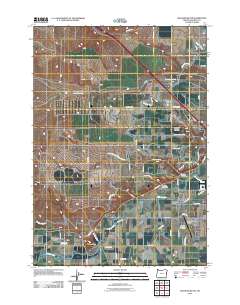
2011 Map of Malheur Butte
USGS Topo · Published 2011About this map
The Malheur River winds through this eastern Oregon landscape, a region defined by an intricate network of irrigation infrastructure and rural development. The prominent Malheur Butte stands near the river, serving as a distinct volcanic landmark just west of the expanding infrastructure of the Ontario Municipal Airport. This 2011 survey captures the agricultural and residential transition of Ontario Heights, where numerous water management features like the Owyhee Canal, Dork Canal, and the Malheur Siphon illustrate the intensive engineering required to support the local economy.
Find a feature on this map
45 named features on this map. Tap any name to fly to it.
Don’t see what you’re looking for? This feature index may not catch every label — zoom into the map to look around manually.
Map Details
Editions of this 2011 Malheur Butte Map
This is the sole edition of this map. No revisions or reprints were ever made.
Other maps of this area

1897 · Weiser
USGS Topo · 1:125,000

1898 · Nampa
USGS Topo · 1:125,000

1906 · Mitchell Butte
USGS Topo · 1:125,000

1951 · Moores Hollow
USGS Topo · 1:24,000

1951 · Malheur Butte
USGS Topo · 1:24,000

1951 · Moores Hollow
USGS Topo · 1:62,500

1951 · Payette
USGS Topo · 1:24,000

1951 · Weiser South
USGS Topo · 1:24,000

1955 · Baker
USGS Topo · 1:250,000

1955 · Boise
USGS Topo · 1:250,000