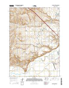
2014 Map of Malheur Butte
USGS Topo · Published 2014About this map
Malheur Butte rises as the dominant volcanic landmark in this high desert landscape, overlooking a complex network of irrigation that has transformed the valley floor. The map documents an intricate hydraulic system essential to local agriculture, including the Owyhee Canal, the Malheur Siphon, and specialized channels like Brosman Ditch and the Halliday Drain. These features support the expansion of Ontario and the residential area of Ontario Heights, where the transition from open range to organized settlement is visible in the grid of boulevards and avenues.
Find a feature on this map
58 named features on this map. Tap any name to fly to it.
Don’t see what you’re looking for? This feature index may not catch every label — zoom into the map to look around manually.
Map Details
Editions of this 2014 Malheur Butte Map
This is the sole edition of this map. No revisions or reprints were ever made.
Other maps of this area

1897 · Weiser
USGS Topo · 1:125,000

1898 · Nampa
USGS Topo · 1:125,000

1906 · Mitchell Butte
USGS Topo · 1:125,000

1951 · Moores Hollow
USGS Topo · 1:24,000

1951 · Malheur Butte
USGS Topo · 1:24,000

1951 · Moores Hollow
USGS Topo · 1:62,500

1951 · Payette
USGS Topo · 1:24,000

1951 · Weiser South
USGS Topo · 1:24,000

1955 · Baker
USGS Topo · 1:250,000

1955 · Boise
USGS Topo · 1:250,000