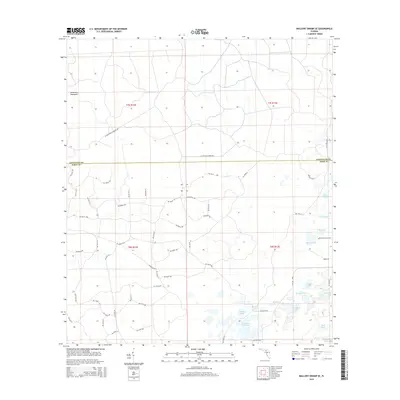
2015 Map of Mallory Swamp SE
USGS Topo · Published 2015About this map
Deserters Hammock sits near the border of Lafayette and Dixie counties, anchoring a landscape defined by an extensive network of cypress ponds and named lakes. The area is characterized by low-lying wetlands and prairies, such as Tomlinson Prairie in the south and the concentrated cluster of water bodies including Cove Lake, Union Lake, and Matthis Lake to the east.
Find a feature on this map
62 named features on this map. Tap any name to fly to it.
Don’t see what you’re looking for? This feature index may not catch every label — zoom into the map to look around manually.
Map Details
Editions of this 2015 Mallory Swamp SE Map
This is the sole edition of this map. No revisions or reprints were ever made.
Other maps of this area

1954 · Mallory Swamp NW
USGS Topo · 1:24,000

1954 · Cross City West
USGS Topo · 1:24,000

1954 · Cross City East
USGS Topo · 1:24,000

1954 · Mallory Swamp SW
USGS Topo · 1:24,000

1954 · Mallory Swamp SE
USGS Topo · 1:24,000

1954 · Mallory Swamp NE
USGS Topo · 1:24,000

1954 · Gainesville
USGS Topo · 1:250,000
1956 · Mallory Swamp NW
USGS Topo · 1:25,000

1956 · Mallory Swamp SE
USGS Topo · 1:25,000

1958 · Gainesville
USGS Topo · 1:250,000