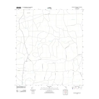
2012 Map of Mallory Swamp SW
USGS Topo · Published 2012About this map
Mallory Swamp dominates this landscape in Dixie County, where a complex network of resource roads and drainage canals reflects the region's managed wetlands and timber history. Named features like Buck Island and Knife Hammock stand as distinctive higher ground amidst the surrounding marshy terrain. The presence of routes such as Hines Tram Rd and Thomas Spur Rd points to the area's legacy of forestry and the trams once used to move timber out of the swamp. Drainage is primarily defined by the winding paths of Wolf Cr and Eightmile Cr. Much of the eastern and central portion of this sheet is preserved within the Steinhatchee Wildlife Area, which maintains the wild character of the Gulf coastal lowlands while providing access via corridors like Tiger Ridge Rd and Jackass Hammock Rd.
Find a feature on this map
18 named features on this map. Tap any name to fly to it.
Don’t see what you’re looking for? This feature index may not catch every label — zoom into the map to look around manually.
Map Details
Editions of this 2012 Mallory Swamp SW Map
This is the sole edition of this map. No revisions or reprints were ever made.
Other maps of this area

1954 · Mallory Swamp NW
USGS Topo · 1:24,000

1954 · Cross City West
USGS Topo · 1:24,000

1954 · Clara
USGS Topo · 1:24,000

1954 · Cross City East
USGS Topo · 1:24,000

1954 · Mallory Swamp SW
USGS Topo · 1:24,000

1954 · Jena
USGS Topo · 1:24,000

1954 · Cooks Hammock
USGS Topo · 1:24,000

1954 · Mallory Swamp SE
USGS Topo · 1:24,000

1954 · Mallory Swamp NE
USGS Topo · 1:24,000

1954 · Gainesville
USGS Topo · 1:250,000