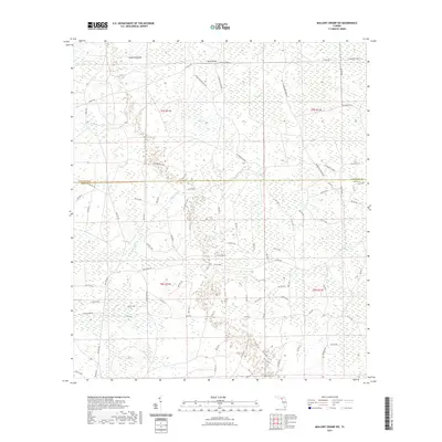
2021 Map of Mallory Swamp SW
USGS Topo · Published 2021About this map
Knife Hammock and Buck Island rise from the intricate wetlands of Dixie and Lafayette counties, where the landscape is defined by the complex hydrology of Mud Swamp. This modern survey reveals a highly structured network of logging and access roads that penetrate the deep woods, such as La Bennet Grade and Se Roberts Grade. These routes provide essential access for timber management and outdoor recreation within the t7s r11e and t8s r11e sections of the Florida Big Bend region.
Find a feature on this map
81 named features on this map. Tap any name to fly to it.
Don’t see what you’re looking for? This feature index may not catch every label — zoom into the map to look around manually.
Map Details
Editions of this 2021 Mallory Swamp SW Map
This is the sole edition of this map. No revisions or reprints were ever made.
Other maps of this area

1954 · Mallory Swamp NW
USGS Topo · 1:24,000

1954 · Cross City West
USGS Topo · 1:24,000

1954 · Clara
USGS Topo · 1:24,000

1954 · Cross City East
USGS Topo · 1:24,000

1954 · Mallory Swamp SW
USGS Topo · 1:24,000

1954 · Jena
USGS Topo · 1:24,000

1954 · Cooks Hammock
USGS Topo · 1:24,000

1954 · Mallory Swamp SE
USGS Topo · 1:24,000

1954 · Mallory Swamp NE
USGS Topo · 1:24,000

1954 · Gainesville
USGS Topo · 1:250,000