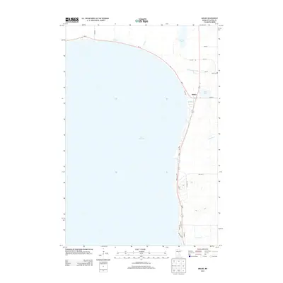
2013 Map of Malmo
USGS Topo · Published 2013About this map
Mille Lacs Lake dominates the western half of this Aitkin County survey, where the settlement of Malmo sits at the intersection of MN-18 and MN-47. This northeastern shoreline of the lake is defined by a network of drainage systems and small creeks, including Reddy Cr, Seventeen Cr, and the numerically designated Ditch Number Thirtysix. The landscape reflects a mix of lakeside residential development and rural infrastructure, visible in the many local roads like Pebble Beach Rd and Edgewater Rd that hug the coast.
Find a feature on this map
27 named features on this map. Tap any name to fly to it.
Don’t see what you’re looking for? This feature index may not catch every label — zoom into the map to look around manually.
Map Details
Editions of this 2013 Malmo Map
This is the sole edition of this map. No revisions or reprints were ever made.
Other maps of this area

1916 · Wealthwood
USGS Topo · 1:62,500

1953 · Duluth
USGS Topo · 1:250,000

1958 · Duluth
USGS Topo · 1:250,000

1968 · Onamia NW
USGS Topo · 1:24,000

1968 · Wahkon North
USGS Topo · 1:24,000

1968 · Isle
USGS Topo · 1:24,000

1969 · Thor SW
USGS Topo · 1:24,000

1969 · Thor
USGS Topo · 1:24,000
1973 · Glen
USGS Topo · 1:24,000
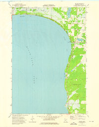
1973 · Malmo
USGS Topo · 1:24,000