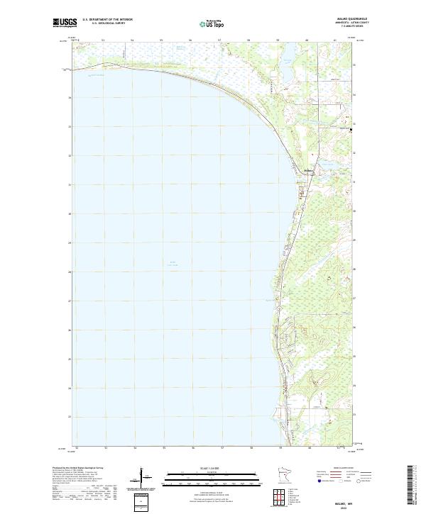
2022 Map of Malmo
USGS Topo · Published 2022About this map
Mille Lacs Lake dominates this portion of Aitkin County, where the settlement of Malmo sits at the junction of Co Hwy 2 and local routes. This 2022 survey captures the modern road network along the northeastern shore, illustrating how residential development has concentrated near the water, particularly around Agate Bay and south toward Peterson Cr. Inland from the lake, the landscape transitions into low-lying wetlands and smaller bodies of water like Deer Lake and Twenty Lake, connected by a series of drainage features including Ditch Number Thirtysix. For genealogists, the Malmo Cem is a primary landmark located north of the village center. The map also detail topographic variations such as Mille Lacs Meadows and the inflow of Reddy Cr into Bergstrom Bay, providing a clear record of the area's hydrology and land use.
Find a feature on this map
37 named features on this map. Tap any name to fly to it.
Don’t see what you’re looking for? This feature index may not catch every label — zoom into the map to look around manually.
Map Details
Editions of this 2022 Malmo Map
This is the sole edition of this map. No revisions or reprints were ever made.
Other maps of this area

1916 · Wealthwood
USGS Topo · 1:62,500

1953 · Duluth
USGS Topo · 1:250,000

1958 · Duluth
USGS Topo · 1:250,000

1968 · Onamia NW
USGS Topo · 1:24,000

1968 · Wahkon North
USGS Topo · 1:24,000

1968 · Isle
USGS Topo · 1:24,000

1969 · Thor SW
USGS Topo · 1:24,000

1969 · Thor
USGS Topo · 1:24,000
1973 · Glen
USGS Topo · 1:24,000
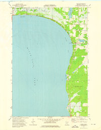
1973 · Malmo
USGS Topo · 1:24,000