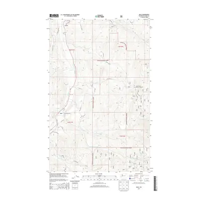
2014 Map of Malo
USGS Topo · Published 2014About this map
The small unincorporated communities of Malo and Curlew anchor this portion of Ferry County, situated within the drainage basins of the Colville National Forest. The landscape is defined by the winding course of Curlew Cr and its numerous tributaries, including Empire Cr and Art Cr. Cultural markers such as Saint Peter Flat and multiple mineral survey locations, like Ms 58 and Ms 429, indicate a history of local land use and extraction. Numerous family-named roads, such as Lundimo Meadow Rd and Hillard Ranch Rd, suggest a rural settlement pattern of ranches and homesteads scattered along the valley floors and higher timberland. The network of forest roads and trails provides a detailed look at the reach of federal land management in this part of Washington.
Find a feature on this map
48 named features on this map. Tap any name to fly to it.
Don’t see what you’re looking for? This feature index may not catch every label — zoom into the map to look around manually.
Map Details
Editions of this 2014 Malo Map
This is the sole edition of this map. No revisions or reprints were ever made.
Other maps of this area

1904 · Republic
USGS Topo · 1:125,000

1936 · Marcus
USGS Topo · 1:96,000

1942 · Marcus
USGS Topo · 1:125,000

1948 · Curlew
USGS Topo · 1:62,500

1948 · Republic
USGS Topo · 1:62,500

1948 · Sherman Peak
USGS Topo · 1:62,500

1948 · Togo Mountain
USGS Topo · 1:62,500

1951 · Togo Mountain
USGS Topo · 1:62,500

1951 · Sherman Peak
USGS Topo · 1:62,500

1951 · Curlew
USGS Topo · 1:62,500