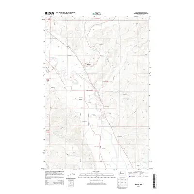
2014 Map of Malone
USGS Topo · Published 2014About this map
The Chehalis River flows through this corner of Grays Harbor County, creating a valley defined by the timbered ridges and flatlands of Ford Prairie. The settlement of Malone serves as a central point along the northern banks of Mox Chehalis Cr, where local roads like Malone Hill Rd and S Blockhouse Rd trace the historical movement between rural homesteads and timber harvests. In the central flats, the Sharon Grange and Sharon Cem stand as markers of a long-established community identity near Gaddis Cr.
Find a feature on this map
61 named features on this map. Tap any name to fly to it.
Don’t see what you’re looking for? This feature index may not catch every label — zoom into the map to look around manually.
Map Details
Editions of this 2014 Malone Map
This is the sole edition of this map. No revisions or reprints were ever made.
Other maps of this area

1939 · Shelton
USGS Topo · 1:62,500

1941 · Gate
USGS Topo · 1:62,500

1941 · Ford
USGS Topo · 1:62,500

1943 · Nahwatzel Lake
USGS Topo · 1:62,500

1953 · Hoquiam
USGS Topo · 1:250,000

1953 · Rochester
USGS Topo · 1:62,500

1953 · Malone
USGS Topo · 1:62,500

1953 · Shelton
USGS Topo · 1:62,500

1953 · Elma
USGS Topo · 1:62,500

1957 · Hoquiam
USGS Topo · 1:250,000