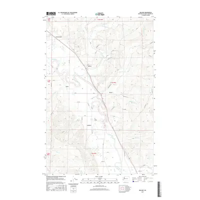
2017 Map of Malone
USGS Topo · Published 2017About this map
The Chehalis River valley defines the central landscape of this territory, where the watercourse meanders through a broad floodplain between Malone and Porter. This area is characterized by small, concentrated settlements and a complex network of timber and access roads, such as the numerous alphanumeric routes like A-Line and C-Line Rd that snake into the surrounding uplands. Historically significant sites include the Sharon Cem and the small communities of Rony and Greenwood. The map also details several tributary systems, including Mox Chehalis Cr and Porter Cr, which drain the varied terrain into the primary river valley. Further south, the open expanses of Ford Prairie and the landing at Lankner suggest a legacy of agriculture and river-based transport in this corner of Washington.
Find a feature on this map
50 named features on this map. Tap any name to fly to it.
Don’t see what you’re looking for? This feature index may not catch every label — zoom into the map to look around manually.
Map Details
Editions of this 2017 Malone Map
This is the sole edition of this map. No revisions or reprints were ever made.
Other maps of this area

1939 · Shelton
USGS Topo · 1:62,500

1941 · Gate
USGS Topo · 1:62,500

1941 · Ford
USGS Topo · 1:62,500

1943 · Nahwatzel Lake
USGS Topo · 1:62,500

1953 · Hoquiam
USGS Topo · 1:250,000

1953 · Rochester
USGS Topo · 1:62,500

1953 · Malone
USGS Topo · 1:62,500

1953 · Shelton
USGS Topo · 1:62,500

1953 · Elma
USGS Topo · 1:62,500

1957 · Hoquiam
USGS Topo · 1:250,000