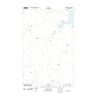
2011 Map of Maloney Hill
USGS Topo · Published 2011About this map
Fort Peck Lake and its intricate northern shoreline at Hell Creek Bay dominate this 2011 topographic perspective of Garfield County. The landscape is defined by an extensive network of coulees, including Cold Turkey Coulee, Jasper Coulee, and Bay Stud Coulee, which carve through the high plateaus toward the water. Key hydrologic features like Manaige Spring, Dripping Spring, and the Jade Reservoir are critical landmarks in this arid, high-plains environment. Significant local topography is captured in the elevations of Maloney Hill and the prominent School Section Divide, while Hell Creek Rd provides the primary access route through the broken terrain near the White Horse Divide.
Find a feature on this map
25 named features on this map. Tap any name to fly to it.
Don’t see what you’re looking for? This feature index may not catch every label — zoom into the map to look around manually.
Map Details
Editions of this 2011 Maloney Hill Map
This is the sole edition of this map. No revisions or reprints were ever made.
Other maps of this area

1954 · Jordan
USGS Topo · 1:250,000

1956 · Jordan
USGS Topo · 1:250,000

1958 · Jordan
USGS Topo · 1:250,000

1958 · Maloney Hill
USGS Topo · 1:62,500

1964 · Jordan
USGS Topo · 1:250,000

1964 · Jordan NE
USGS Topo · 1:24,000

1964 · Jordan NW
USGS Topo · 1:24,000

1971 · Trumbo Ranch
USGS Topo · 1:24,000

1971 · Harper Camp
USGS Topo · 1:24,000

1978 · Fort Peck Lake West
USGS Topo · 1:100,000