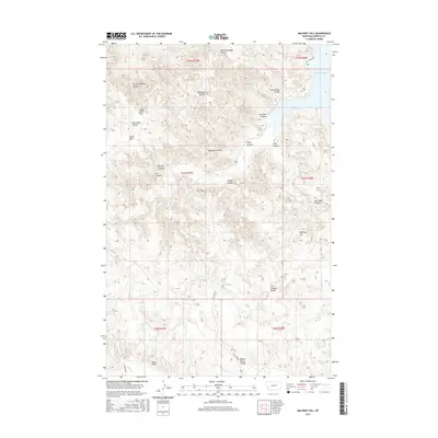
2017 Map of Maloney Hill
USGS Topo · Published 2017About this map
Hell Creek Bay and the surrounding drainage basins of the Missouri River break country define this portion of Garfield County. The landscape is heavily dissected by numerous seasonal watercourses, including North Getaway Coulee, Two Deer Coulee, and Jordan Coulee, which carve through the high plateaus. Strategic water sources for local ranching and wildlife are noted at Manage Spring, Dripping Spring, and the man-made Jade Reservoir.
Find a feature on this map
34 named features on this map. Tap any name to fly to it.
Don’t see what you’re looking for? This feature index may not catch every label — zoom into the map to look around manually.
Map Details
Editions of this 2017 Maloney Hill Map
This is the sole edition of this map. No revisions or reprints were ever made.
Other maps of this area

1954 · Jordan
USGS Topo · 1:250,000

1956 · Jordan
USGS Topo · 1:250,000

1958 · Jordan
USGS Topo · 1:250,000

1958 · Maloney Hill
USGS Topo · 1:62,500

1964 · Jordan
USGS Topo · 1:250,000

1964 · Jordan NE
USGS Topo · 1:24,000

1964 · Jordan NW
USGS Topo · 1:24,000

1971 · Trumbo Ranch
USGS Topo · 1:24,000

1971 · Harper Camp
USGS Topo · 1:24,000

1978 · Fort Peck Lake West
USGS Topo · 1:100,000