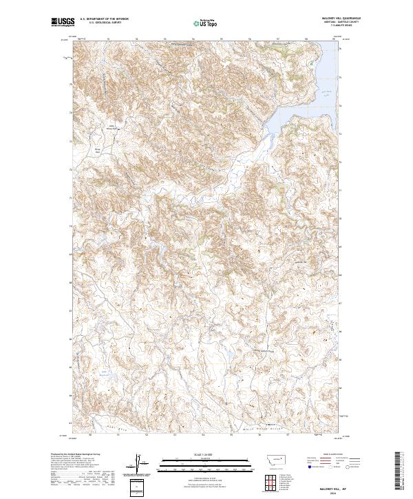
2024 Map of Maloney Hill
USGS Topo · Published 2024About this map
Charles M Russell National Wildlife Refuge dominates the northern reaches of this Garfield County landscape, where the rugged breaks of the Missouri River country meet the southern waters of Fort Peck Lake. The terrain is defined by a series of prominent high points and partitions, including Maloney Hill, School Section Divide, and White Horse Divide, which separate the myriad drainage systems feeding toward the lake. This high prairie and coulee country is marked by seasonal watercourses like Cold Turkey Coulee and North Getaway Coulee, which cut through the limestone and shale formations characteristic of the region. Local land use is reflected in features such as the Jade Reservoir and grazing areas like Horse Park and Little Horse Park. The map traces the winding paths of Hell Creek Rd and Trumbo Rd, providing a detailed view of the access points into this protected wilderness and the surrounding ranchlands near the Hogs Back ridge.
Find a feature on this map
34 named features on this map. Tap any name to fly to it.
Don’t see what you’re looking for? This feature index may not catch every label — zoom into the map to look around manually.
Map Details
Editions of this 2024 Maloney Hill Map
This is the sole edition of this map. No revisions or reprints were ever made.
Other maps of this area

1954 · Jordan
USGS Topo · 1:250,000

1956 · Jordan
USGS Topo · 1:250,000

1958 · Jordan
USGS Topo · 1:250,000

1958 · Maloney Hill
USGS Topo · 1:62,500

1964 · Jordan
USGS Topo · 1:250,000

1964 · Jordan NE
USGS Topo · 1:24,000

1964 · Jordan NW
USGS Topo · 1:24,000

1971 · Trumbo Ranch
USGS Topo · 1:24,000

1971 · Harper Camp
USGS Topo · 1:24,000

1978 · Fort Peck Lake West
USGS Topo · 1:100,000