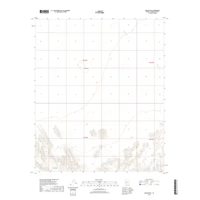
2018 Map of Malpais Hill
USGS Topo · Published 2018About this map
Crater Range dominates the southern reaches of this landscape, its steep contours rising sharply from the desert floor. To the north, the isolated prominence of Malpais Hill stands as a clear landmark in an otherwise open terrain defined by the intermittent drainage of Midway Wash. This area of Maricopa County reflects the stark, undeveloped character of the Arizona desert in the early 21st century, where land use is primarily organized by the Public Land Survey System. The map documents a territory defined by its geologic formations rather than human settlement, preserving the spatial relationship between the volcanic-named heights and the drainage paths that carve through the basin.
Find a feature on this map
7 named features on this map. Tap any name to fly to it.
Don’t see what you’re looking for? This feature index may not catch every label — zoom into the map to look around manually.
Map Details
Editions of this 2018 Malpais Hill Map
This is the sole edition of this map. No revisions or reprints were ever made.
Other maps of this area

1949 · Sentinel
USGS Topo · 1:62,500

1950 · Sentinel
USGS Topo · 1:62,500

1950 · Theba
USGS Topo · 1:62,500

1951 · Theba
USGS Topo · 1:62,500

1953 · Ajo
USGS Topo · 1:250,000

1957 · Ajo
USGS Topo · 1:250,000

1958 · Ajo
USGS Topo · 1:250,000

1958 · Midway
USGS Topo · 1:62,500

1962 · Ajo
USGS Topo · 1:250,000

1963 · Ajo
USGS Topo · 1:250,000