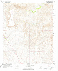
1967 Map of Malpais Mesa
USGS Topo · Published 1978About this map
Malpais Mesa dominates this 1960s landscape, where the high basaltic plateau overlooks a complex drainage system of ephemeral washes and perennial streams. The topography is defined by the Santa Maria River and its South Fork, which carve through the arid terrain of Yavapai County. The mapping reveals a sparse human footprint, centered primarily on land management and ranching resources like the scattered Well and Spring locations essential for cattle in this desert environment. Movement through the area is limited to a primitive Jeep Trail, illustrating the isolation of this corner of Arizona. Other drainage features including Waterman Creek, Black Canyon Wash, and Cottonwood Canyon provide a detailed look at the erosional patterns that have shaped the mesa's surroundings, offering a clear picture of the region's physical geography before modern development or intensive grazing impacts.
Find a feature on this map
10 named features on this map. Tap any name to fly to it.
Don’t see what you’re looking for? This feature index may not catch every label — zoom into the map to look around manually.
Map Details
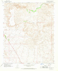
Editions of this 1967 Malpais Mesa Map
2 editions found
Other maps of this area

1887 · Prescott
USGS Topo · 1:250,000

1892 · Prescott
USGS Topo · 1:250,000

1903 · Congress
USGS Topo · 1:125,000

1904 · Congress
USGS Topo · 1:125,000

1923 · Signal
USGS Topo · 1:250,000

1942 · Signal
USGS Topo · 1:250,000

1950 · Prescott
USGS Topo · 1:250,000

1954 · Prescott
USGS Topo · 1:250,000

1958 · Prescott
USGS Topo · 1:250,000

1959 · Prescott
USGS Topo · 1:250,000