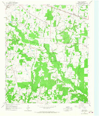
1965 Map of Malta
USGS Topo · Published 1967About this map
De Kalb and the small community of Malta anchor the northern reaches of this Bowie County landscape in the mid-1960s. The Texas and Pacific railroad cuts through the upper corner of the map, serving as a primary transportation artery through the wooded terrain. The area is defined by a dense network of watercourses, including the winding Anderson Creek and Red Bayou, which carve through the countryside near Little Prairie.
Find a feature on this map
20 named features on this map. Tap any name to fly to it.
Don’t see what you’re looking for? This feature index may not catch every label — zoom into the map to look around manually.
Map Details
Editions of this 1965 Malta Map
2 editions found
Other maps of this area
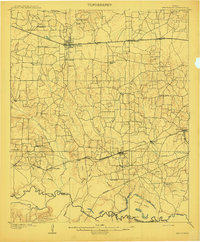
1909 · New Boston
USGS Topo · 1:62,500
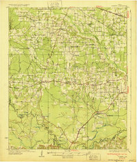
1930 · Bassett
USGS Topo · 1:62,500
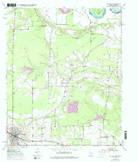
1950 · De Kalb
USGS Topo · 1:24,000
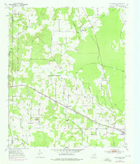
1950 · Oak Grove
USGS Topo · 1:24,000
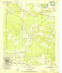
1951 · De Kalb
USGS Topo · 1:24,000
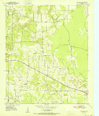
1951 · Oak Grove
USGS Topo · 1:24,000
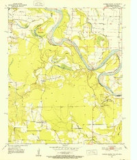
1951 · Daniels Chapel
USGS Topo · 1:24,000

1953 · Texarkana
USGS Topo · 1:250,000
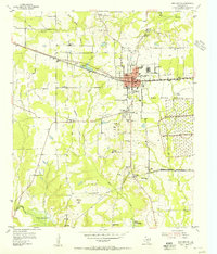
1954 · New Boston
USGS Topo · 1:24,000
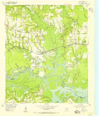
1955 · Corley
USGS Topo · 1:24,000