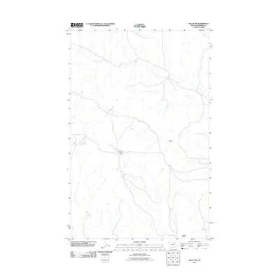
2011 Map of Malta NW
USGS Topo · Published 2011About this map
Assiniboine Creek and the Dry Fork channel water through this high plains drainage system in Phillips County. The landscape is defined by its water management infrastructure, featuring the Kelso Number 1 Dam and the PR-174 Dam, which serve to regulate flow across the arid terrain. The map documents a sparsely populated ranching or agricultural region where drainage features like Exeter Creek and Wilson Coulee provide the primary geographic orientation. This 2011 survey by the U.S. Geological Survey illustrates the intricate network of coulees and creeks that shape the North American plains, reflecting a modern period of topographic recording where small dams and local waterways remain central to the character of the land.
Find a feature on this map
6 named features on this map. Tap any name to fly to it.
Don’t see what you’re looking for? This feature index may not catch every label — zoom into the map to look around manually.
Map Details
Editions of this 2011 Malta NW Map
This is the sole edition of this map. No revisions or reprints were ever made.
Other maps of this area

1920 · Avery
USGS Topo · 1:125,000

1920 · Cowan
USGS Topo · 1:125,000

1953 · Havre
USGS Topo · 1:250,000

1954 · Glasgow
USGS Topo · 1:250,000

1957 · Glasgow
USGS Topo · 1:250,000

1957 · Havre
USGS Topo · 1:250,000

1958 · Glasgow
USGS Topo · 1:250,000

1958 · Havre
USGS Topo · 1:250,000

1964 · Dodson NE
USGS Topo · 1:24,000

1965 · Wagner
USGS Topo · 1:24,000