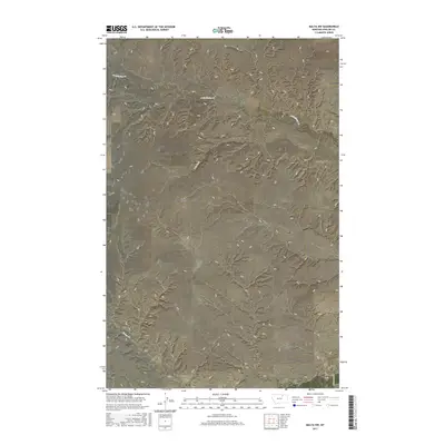
2017 Map of Malta NW
USGS Topo · Published 2017About this map
Assiniboine Cr winds across the northern sections of this Phillips County landscape, a terrain defined by the drainage patterns of the northern Great Plains. This 2017 survey by the U.S. Geological Survey illustrates a sparsely populated region of Montana, where the land is organized primarily by township and range lines and intermittent watercourses. In the south, Exeter Cr and Wilson Coulee carve through the land, while Spring Coulee and Dry Fork mark the central drainage of the quadrangle. The only named road on the sheet, Green Acres Ln, appears in the southeast corner, suggesting a small pocket of modern development or localized access within an otherwise open, rural expanse. This map is a useful tool for understanding the contemporary topography and drainage of North Central Montana.
Find a feature on this map
12 named features on this map. Tap any name to fly to it.
Don’t see what you’re looking for? This feature index may not catch every label — zoom into the map to look around manually.
Map Details
Editions of this 2017 Malta NW Map
This is the sole edition of this map. No revisions or reprints were ever made.
Other maps of this area

1920 · Avery
USGS Topo · 1:125,000

1920 · Cowan
USGS Topo · 1:125,000

1953 · Havre
USGS Topo · 1:250,000

1954 · Glasgow
USGS Topo · 1:250,000

1957 · Glasgow
USGS Topo · 1:250,000

1957 · Havre
USGS Topo · 1:250,000

1958 · Glasgow
USGS Topo · 1:250,000

1958 · Havre
USGS Topo · 1:250,000

1964 · Dodson NE
USGS Topo · 1:24,000

1965 · Wagner
USGS Topo · 1:24,000