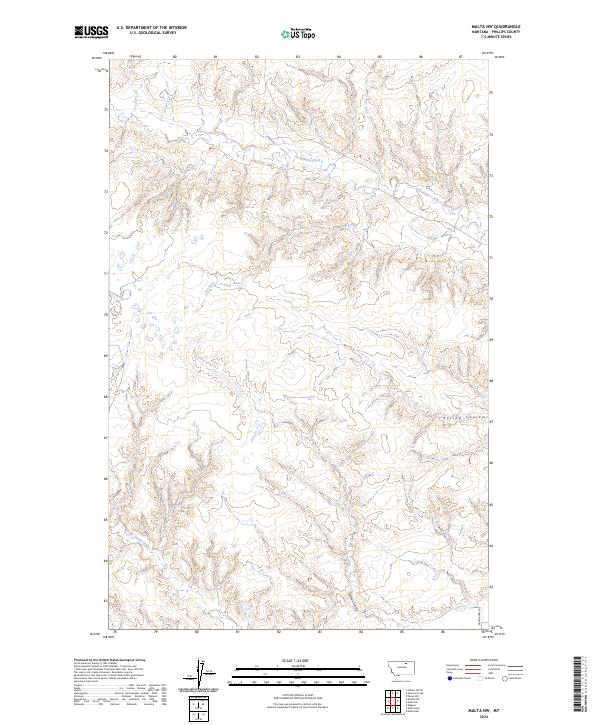
2024 Map of Malta NW
USGS Topo · Published 2024About this map
Assiniboine Creek and Dry Fork meander through the drainage basins of northern Phillips County, defining the drainage patterns of this rural Montana landscape. The area is characterized by a network of seasonal watercourses and topographic depressions such as Spring Coulee and Wilson Coulee, which highlight the intricate erosion patterns typical of the region. Most of the territory is defined by the Public Land Survey System grid, including townships t31n r29e and t32n r29e, showing a landscape largely devoid of dense settlement. In the southeastern corner, the appearance of Green Acres Ln near Exeter Creek indicates the limited modern road development that serves the sparse ranching or agricultural operations in this part of the state.
Find a feature on this map
12 named features on this map. Tap any name to fly to it.
Don’t see what you’re looking for? This feature index may not catch every label — zoom into the map to look around manually.
Map Details
Editions of this 2024 Malta NW Map
This is the sole edition of this map. No revisions or reprints were ever made.
Other maps of this area

1920 · Avery
USGS Topo · 1:125,000

1920 · Cowan
USGS Topo · 1:125,000

1953 · Havre
USGS Topo · 1:250,000

1954 · Glasgow
USGS Topo · 1:250,000

1957 · Glasgow
USGS Topo · 1:250,000

1957 · Havre
USGS Topo · 1:250,000

1958 · Glasgow
USGS Topo · 1:250,000

1958 · Havre
USGS Topo · 1:250,000

1964 · Dodson NE
USGS Topo · 1:24,000

1965 · Wagner
USGS Topo · 1:24,000