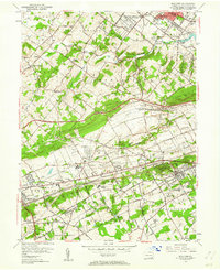
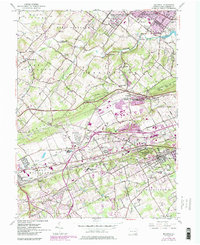
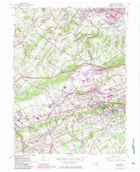
1955 Map of Malvern
USGS Topo · Published 1962About this map
The Pennsylvania RR and the Pennsylvania Turnpike cut through the heart of Chester County in the mid-1950s, illustrating a landscape transitioning from rural crossroads to suburban development. The southern portion of the map is dominated by educational and institutional grounds, including Immaculata College, Malvern Preparatory Sch, and the Devereux Sch. To the north, the U S Military Reservation and Valley Forge Army Hospital occupy a significant footprint near the bend of the Pickering Creek.
Find a feature on this map
87 named features on this map. Tap any name to fly to it.
Don’t see what you’re looking for? This feature index may not catch every label — zoom into the map to look around manually.
Map Details
Editions of this 1955 Malvern Map
6 editions found
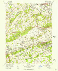
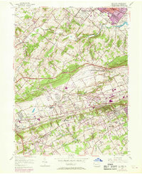
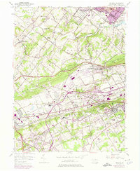
Other maps of this area

1894 · Chester
USGS Topo · 1:62,500

1894 · Norristown
USGS Topo · 1:62,500

1895 · Norristown
USGS Topo · 1:62,500

1896 · Norristown
USGS Topo · 1:62,500

1896 · Chester
USGS Topo · 1:62,500

1898 · Chester
USGS Topo · 1:62,500

1901 · Camden
USGS Topo · 1:125,000

1901 · West Chester
USGS Topo · 1:62,500

1904 · West Chester
USGS Topo · 1:62,500

1906 · Phoenixville
USGS Topo · 1:62,500
Featured Places
- West Goshen Township, PA
- Phoenixville, PA
- Willistown Township, PA
- Charlestown Township, PA
- West Pikeland Township, PA