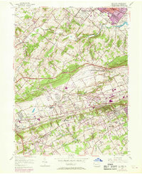
1955 Map of Malvern
USGS Topo · Published 1969About this map
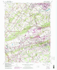
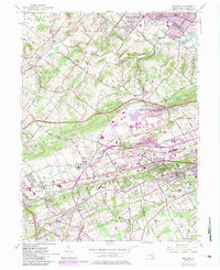
The U S Military Reservation Valley Forge Army Hospital anchors the northeastern portion of this landscape, just south of the Schuylkill River and Phoenixville. The terrain is characterized by the rolling hills of the Great Valley, where the Pennsylvania Turnpike cuts a modern swath across established agricultural and institutional lands. This era shows a community in transition, where legacy estates and schools like Immaculata College and the Church Farm Sch sit alongside growing residential developments such as Whiteland Crest.
Find a feature on this map
80 named features on this map. Tap any name to fly to it.
Don’t see what you’re looking for? This feature index may not catch every label — zoom into the map to look around manually.
Map Details
Editions of this 1955 Malvern Map
6 editions found
Other maps of this area

1894 · Chester
USGS Topo · 1:62,500

1894 · Norristown
USGS Topo · 1:62,500

1895 · Norristown
USGS Topo · 1:62,500

1896 · Norristown
USGS Topo · 1:62,500

1896 · Chester
USGS Topo · 1:62,500

1898 · Chester
USGS Topo · 1:62,500

1901 · Camden
USGS Topo · 1:125,000

1901 · West Chester
USGS Topo · 1:62,500

1904 · West Chester
USGS Topo · 1:62,500

1906 · Phoenixville
USGS Topo · 1:62,500
Featured Places
- West Goshen Township, PA
- Phoenixville, PA
- Willistown Township, PA
- Charlestown Township, PA
- West Pikeland Township, PA